
About American Mapping Solutions
American Mapping Solutions specializes in creating beautiful, web-enabled maps that transform raw geospatial data into compelling visual stories. Powered by Machine Learning and AI technology, our modern, sleek data-driven maps provide actionable insights that never become outdated. We serve municipalities, counties, townships, chambers of commerce, boards of education, law enforcement agencies, and all local government entities with GIS needs, while also supporting private sector organizations requiring sophisticated spatial analysis.
Our comprehensive mapping solutions are designed to save time and reduce costs through intelligent automation and faster deployment. We organize maps into custom web hubs with interactive dashboards and interfaces that deliver valuable insights from your spatial datasets. Whether you need zoning, parcels, spatial analysis, property tax assessments, infrastructure planning, downtown revitalization planning, or real estate portfolio analysis, we securely ingest your data and extract meaningful geospatial intelligence to drive informed decision-making.
Our Services

Short Term Projects & Long Term Support
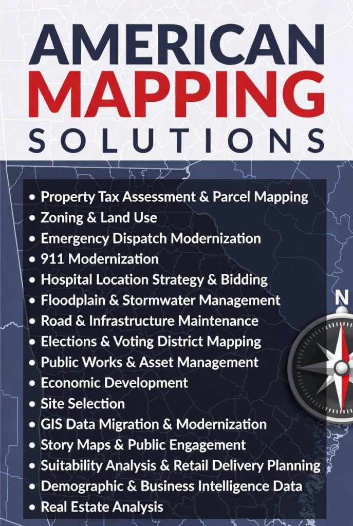
- Property Tax Assessments
- Parcel modifications & creation
- Zoning & Land Use
- Emergency Dispatch Modernization
- NG911 Compliance
- Hospital Location & Bidding
- Flood & Stormwater Management
- Road & Infrastructure Maintenance
- Elections & Voting District Mapping
- Public Works & Asset Management
- Economic Development Zones
- GIS Data Migration & Modernization
- Story Maps & Public Facing Apps
- Field Maps & Survey Forms
- Executive Dashboards & Infographics

Private Geospatial Analysis & Insights
Suitability Analysis & Retail Delivery, market analysis, demand modeling, and performance metrics tailored to your business. Our AI-enabled solutions extract meaningful patterns from your geospatial data to support strategic decision-making and reduce operational costs. We securely maintain your spatial information for continuous insights and analysis. Any NAICS sector, we have competition data for, including locations, sales, employees, and insights on visits, traffic, movement data, etc. The right demographic and consumer data is picked with your input, and our demand modeling can conservatively estimate your revenue and profit.

Site Selection and Portfolio Analysis
Real Estate Analysis, project evaluation, and development decision-making. Identify optimal locations for new projects, assess buildable areas, evaluate property values, and minimize risks associated with development. Suitability studies that enable smarter, data-driven choices that accelerate timelines, reduce costs, and maximize investment returns in competitive real estate markets. Starting at a high level market, and then diving in to an address, we can pinpoint the best location on the market, or off the market, and enrich the location with a development plan. Add 3D models, BIM, CAD, or other files for insights and strategy.